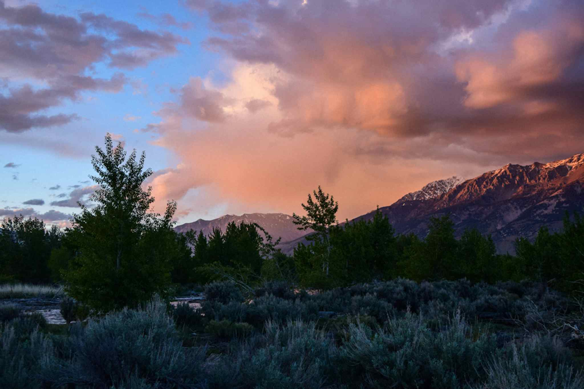
South Fork Fall Creek Trail
<strong>ACTIVITIES</strong>: Hiking, Horseback Riding, Biking, Camping
<strong>LENGTH</strong>: 8 miles
<strong>TYPE</strong>: Point to Point
<strong>RATING</strong>: Moderate to Difficult
The lower half of this scenic hike is an easy and rambling ATV trail that passes by beaver dams, through meadows, and across rolling hillsides.
After 3.9 miles, the trail enters a large meadow and a trail junction. The South Fork trails turns to singletrack and continues left in the meadow while the ATV trail turns right, crosses a bridge, and continues toward a pass and the top end of Rash Canyon.
The singletrack section has a few challenging sections but stays moderate for a couple miles before the grade steepens considerably in sections.