4 Scenic Byways: Take the long way 'round in Eastern ID
Backroads and byways are the best way to see Eastern Idaho's wildest beauty.
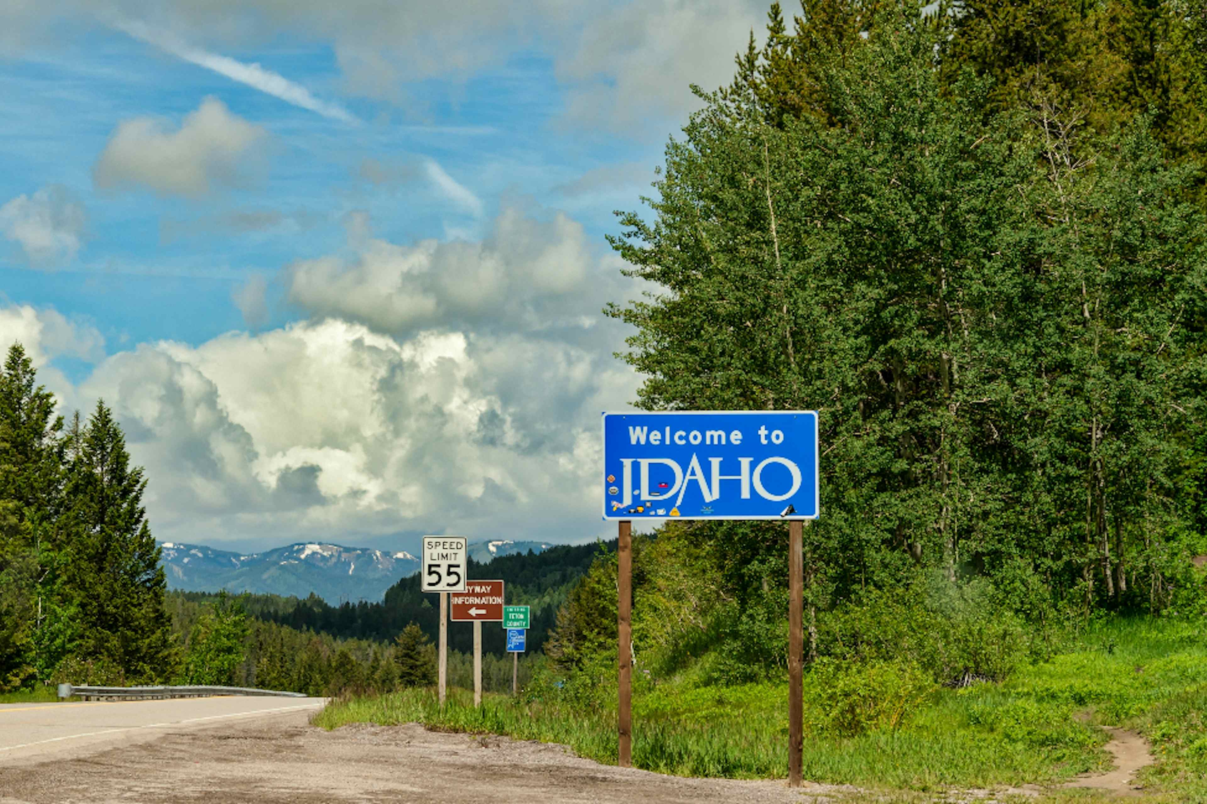
Journey through Yellowstone Teton Territory and travel to places that many don't take the time to see. Plan to spend additional time on each of the byways in order to explore small towns, pullover to watch wildlife go about their business or simply stop and smell the wildflowers.
History on the Road
Fort Henry Historic Byway
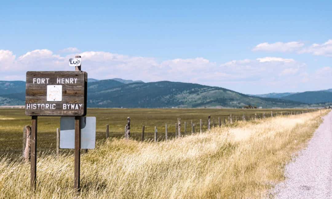

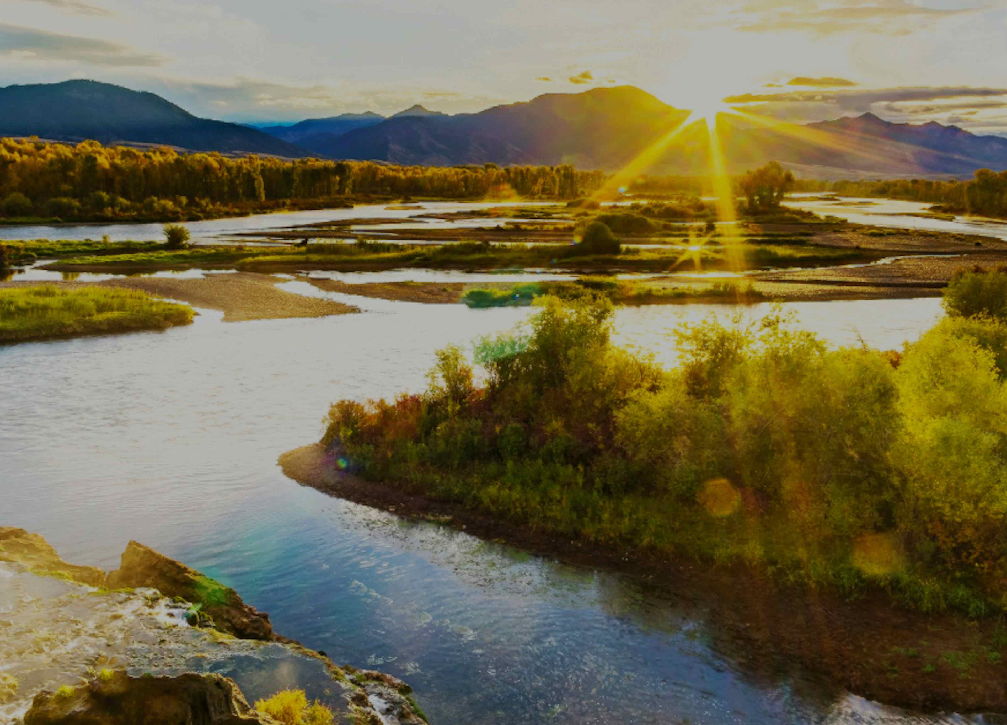
FORT HENRY HISTORIC BYWAY
Located in Clark County, the Fort Henry Historic Byway is more than a roadside history lesson about the region, it is an outdoor recreation extravaganza to hike , bike , fish and ATV .
Length and Roadway: 97 miles, two-lane road, 11 miles of gravel road
Driving Time: Allow up to 2.5 hours
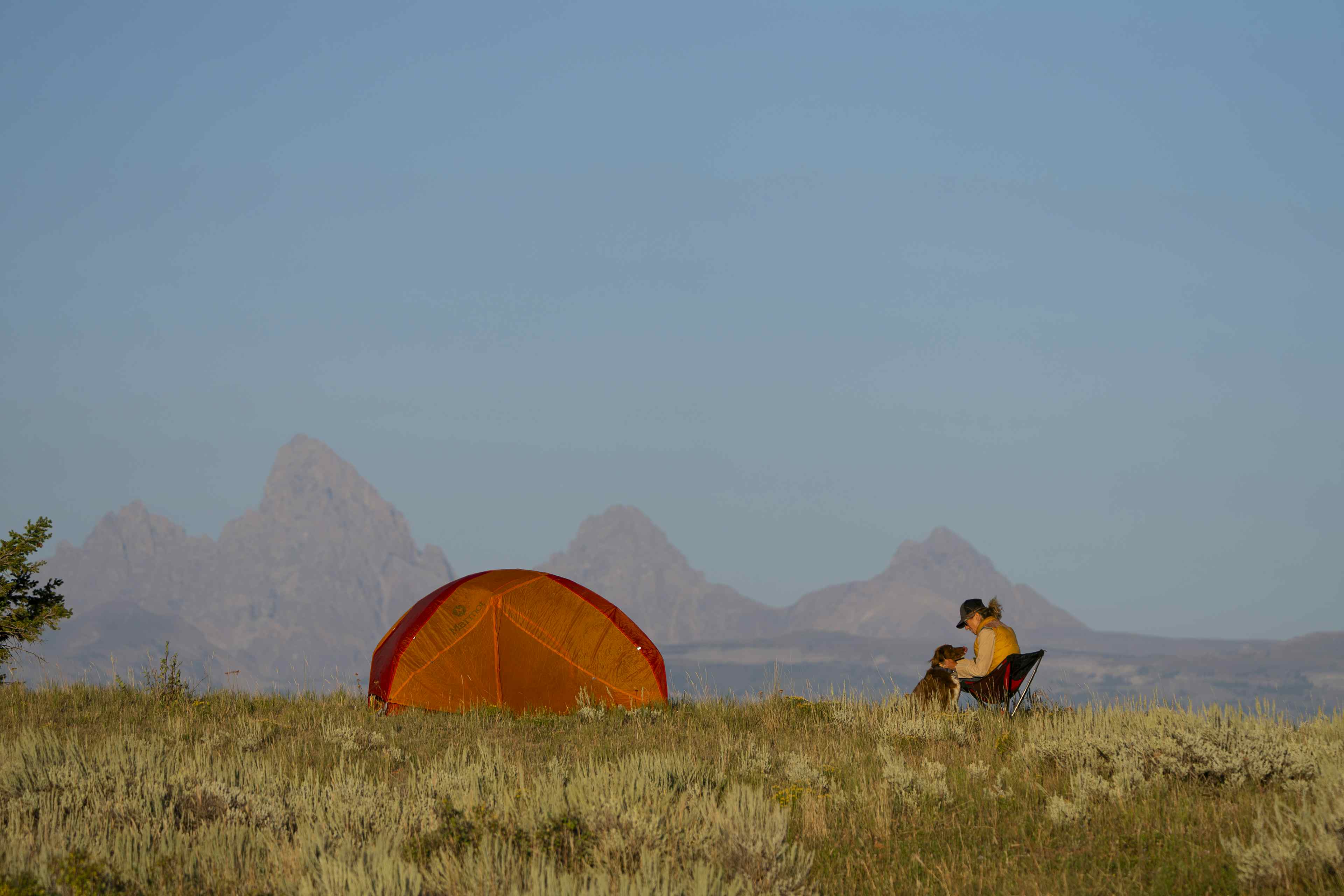
Directions: From North Rexburg , exit on US-20, head North on Salem Highway to St. Anthony Sand Dunes . Take Red Road to "Y" junction with A-2, North on A-2, then East on US-20 at Island Park.
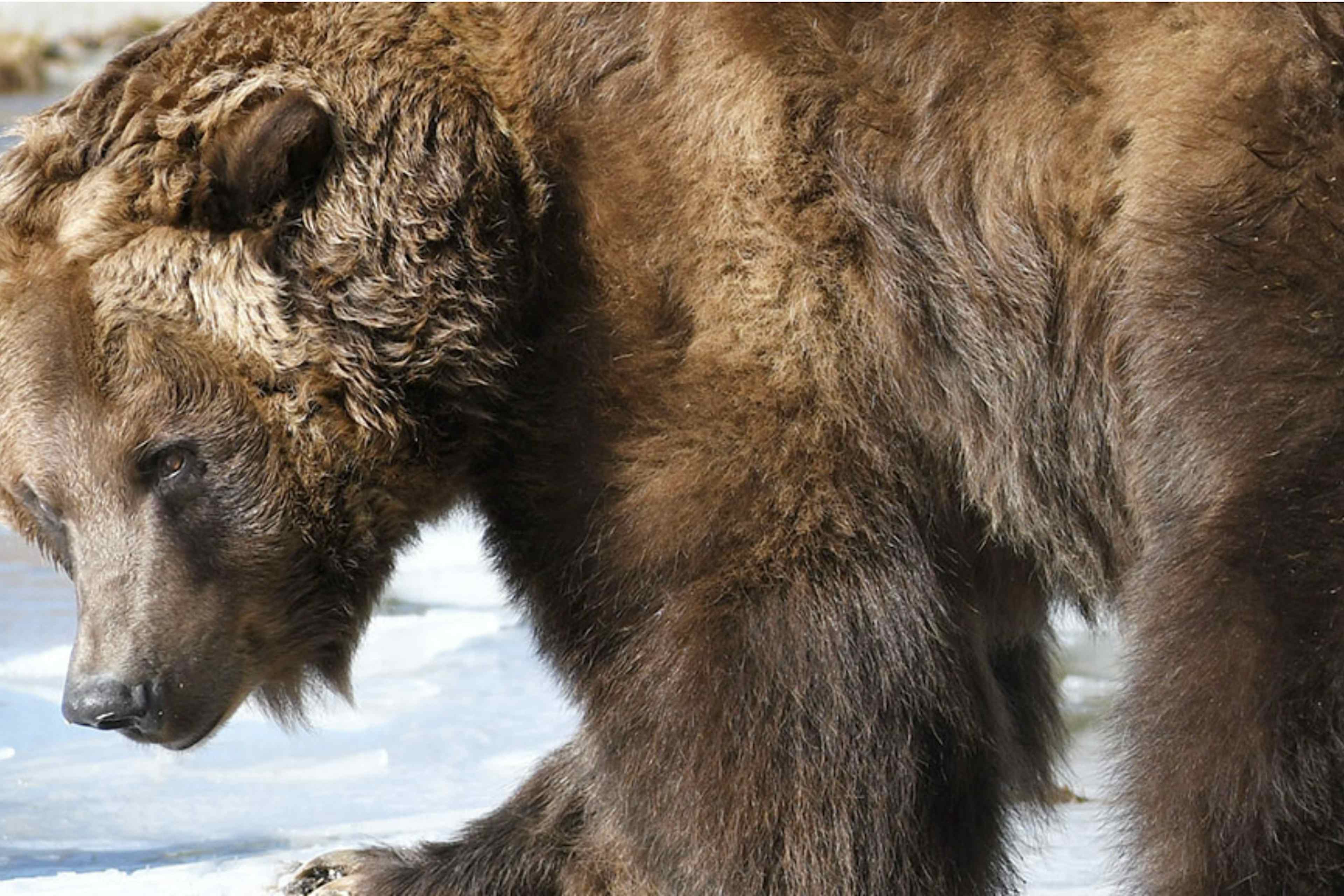
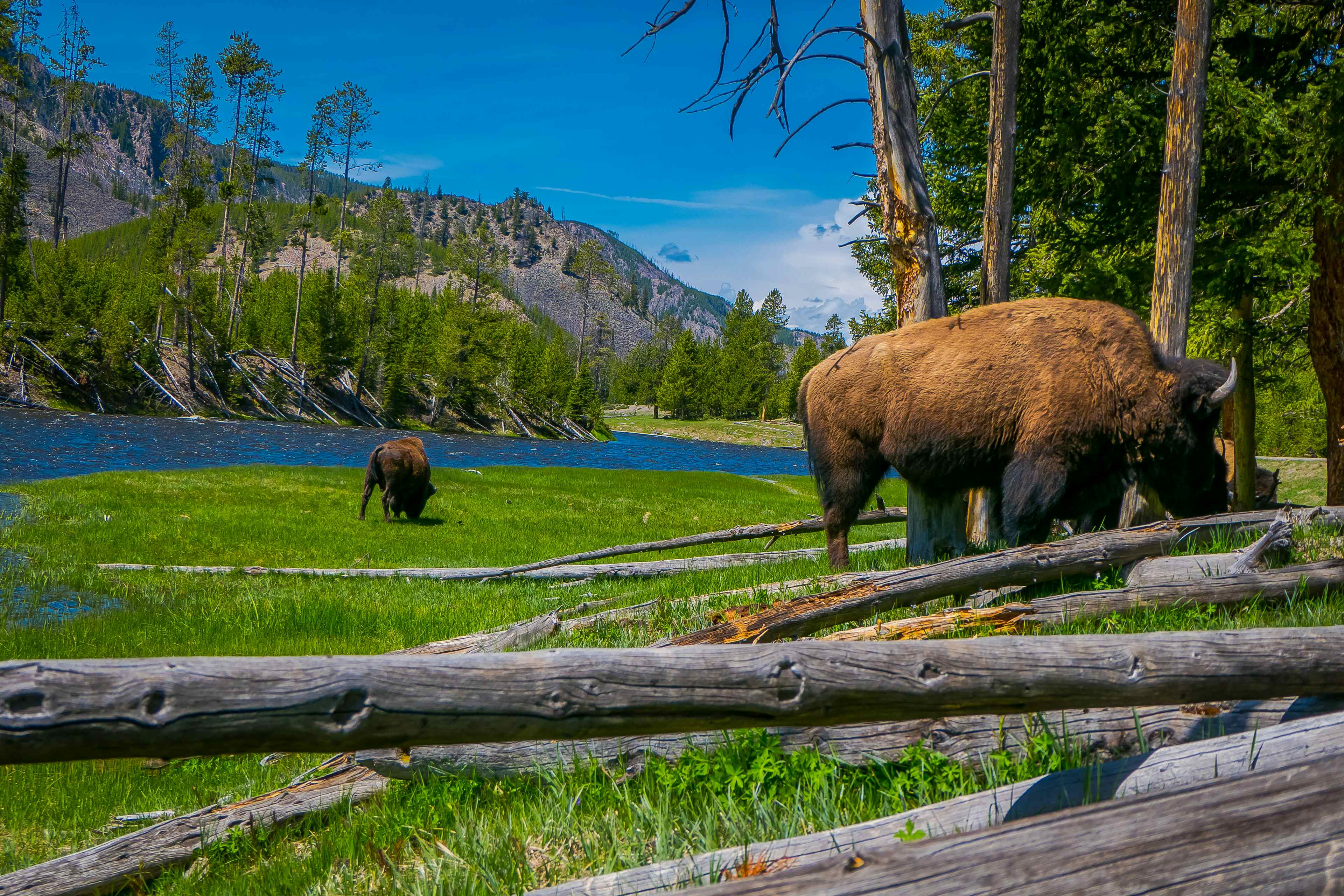
What to expect: Sandhill cranes are early Spring visitors in the Camas meadows. Stop awhile to watch graceful flocks and listen to their birdsongs. The meadows are full of wildflowers through August. In the late Summer and through Fall, herds of elk and deer can be seen migrating to lower elevations.
Historic significance: Discover the roots of the first white settlement through the Fort Henry Monument , after which this scenic byway is named. Recently replaced, the new monument stands proudly at the original site, while the old one now resides in a nearby field, still visible from its original location. Another important monument marks the Camas Meadows Battleground designating the 1877 skirmish between the U.S. Calvary and the Nez Perce .
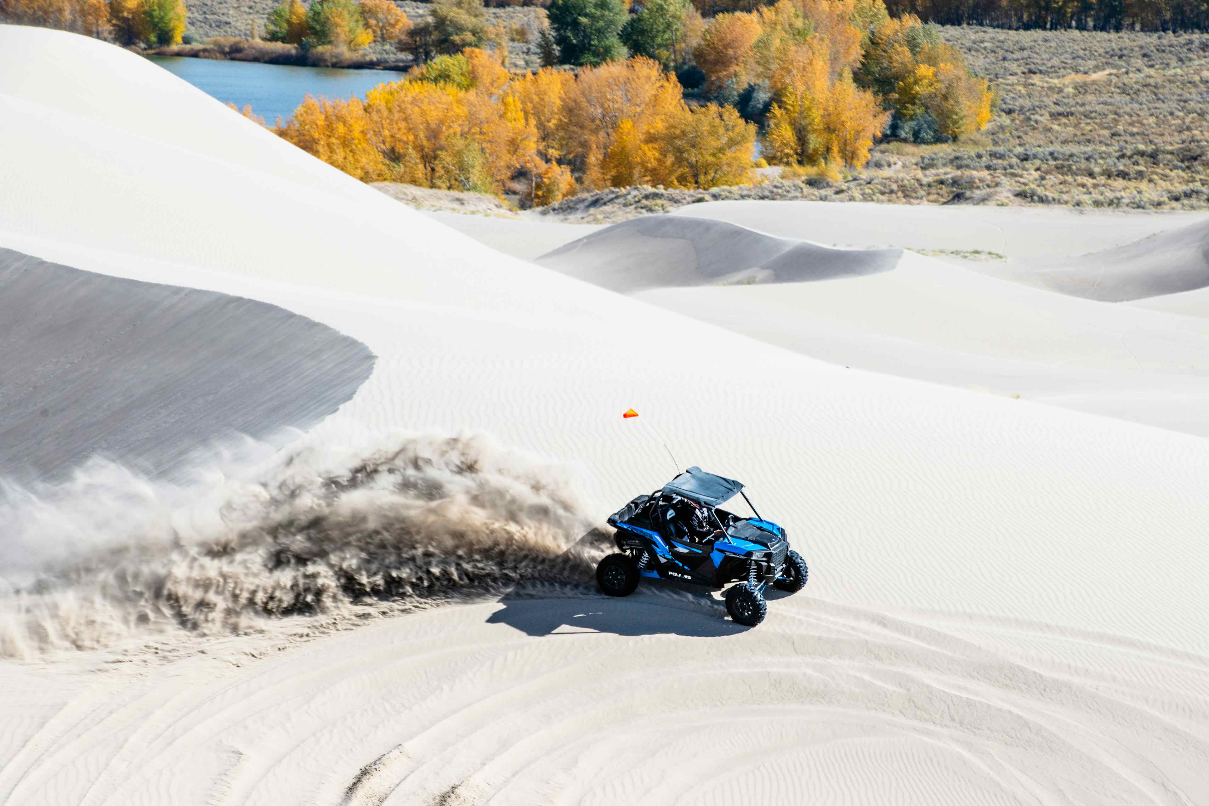
A stop along the Route: Famous for its 10,600 acres of pristine white quartz dunes, St. Anthony offers a whole host of outdoor recreation from horseback riding to snowboarding the dunes (that's right ... don't knock it till you've tried it!) and racing ATVs over miles of sand.
Hidden Treasure
LOST GOLD TRAILS LOOP
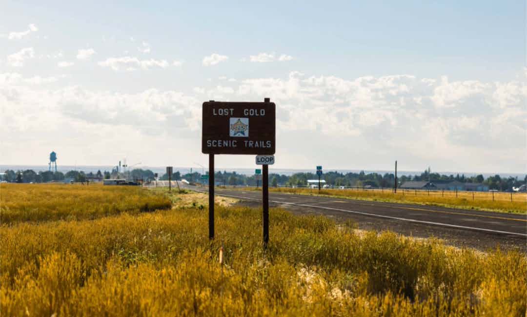

LOST GOLD TRAILS LOOP
A road trip through the Lost Gold Trails Loop takes you along an early Gold Rush route where you can stop to see the gateway to the Nez Perce Historic Trail and Beaver Canyon .
Length and Roadway: 48 miles, two-lane road, 11 miles of gravel road
Driving Time: Allow 1.5 hours of travel time
Directions: On A-2, at "Y" Junction (with Red Road on the Fort Henry Historic Byway) head West into Dubois then North on Old US 91 to Spencer . Next head East on Spencer/Idmon (gravel) Road, connecting to A-2 and the Fort Henry Byway at Idmon.
What to expect: Best traveled between mid-April and November, the Loop cuts through desert-lava rolling hill terrain where cattle and wild game graze the meadows between Spring and Fall. Be sure to stop and look among herds of cattle for the antelope and elk herds that migrate through the area.
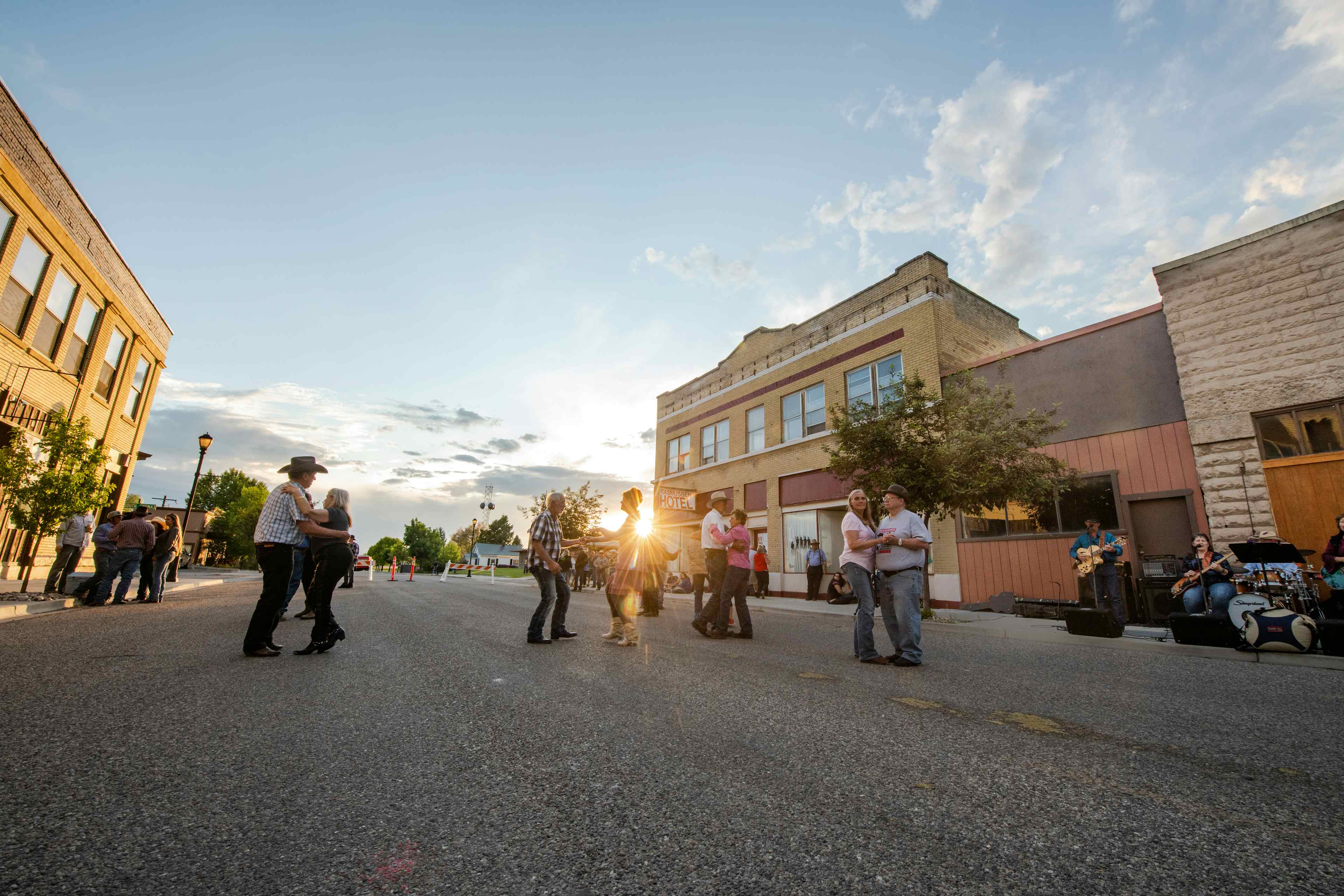
Historic significance: Dubois, ID, is home to Heritage Hall , a historic museum listed in the National Register of Historic Places. Formerly the St. James Episcopal Mission Church, the museum details the history of the area.
A stop along the Route: Idaho is known as the gem state because of the abundance of rare minerals found throughout the state. Spencer, ID, serves as a base for the state's opal mine, which has given the town the reputation as the "Opal Capital of America." Be sure to stop by the Spencer Opal Mine to mine your own gems or buy polished gemstones at the Gift Shop.

Waterfalls and Wildlife
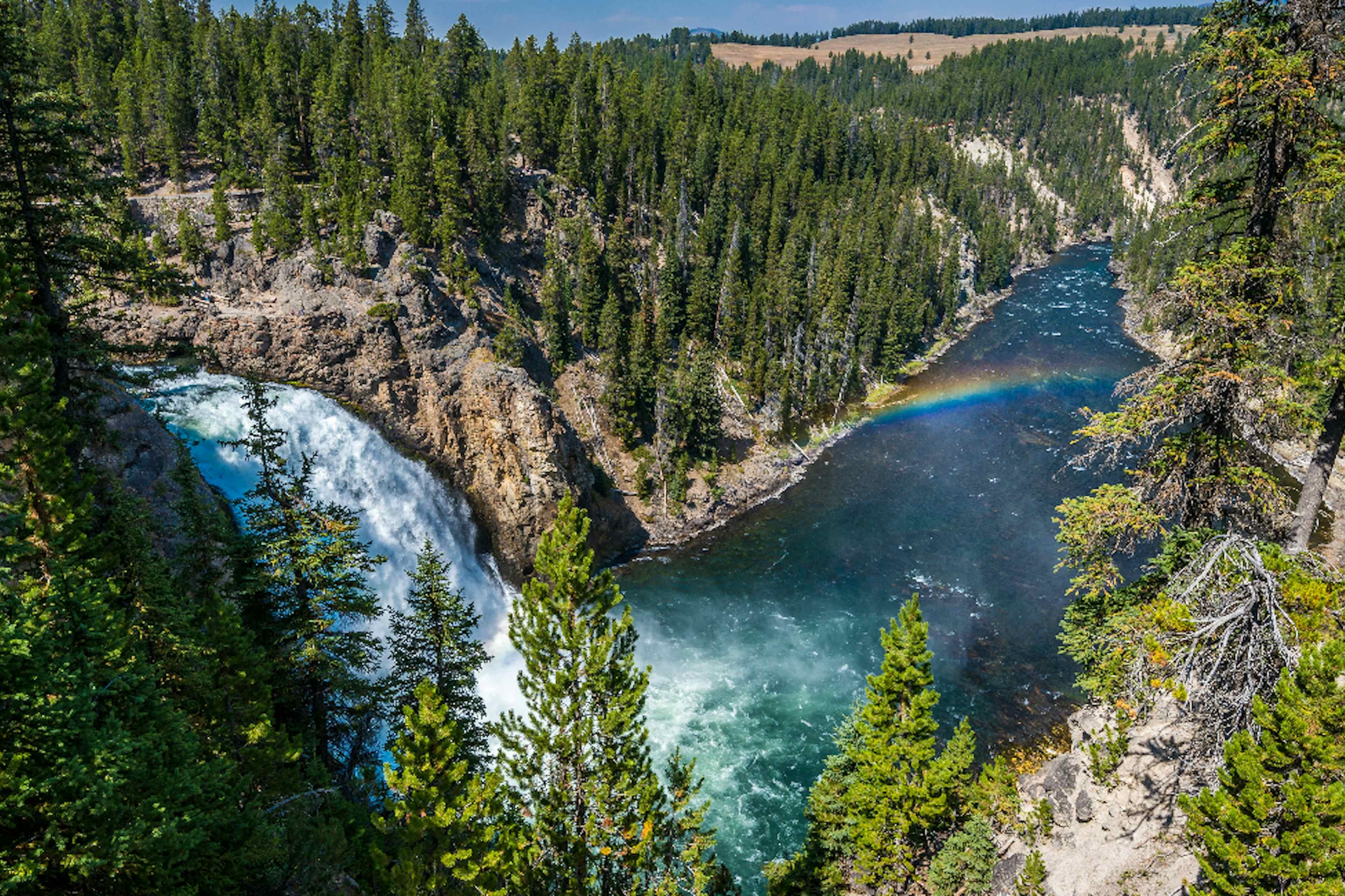
MESA FALLS SCENIC BYWAY
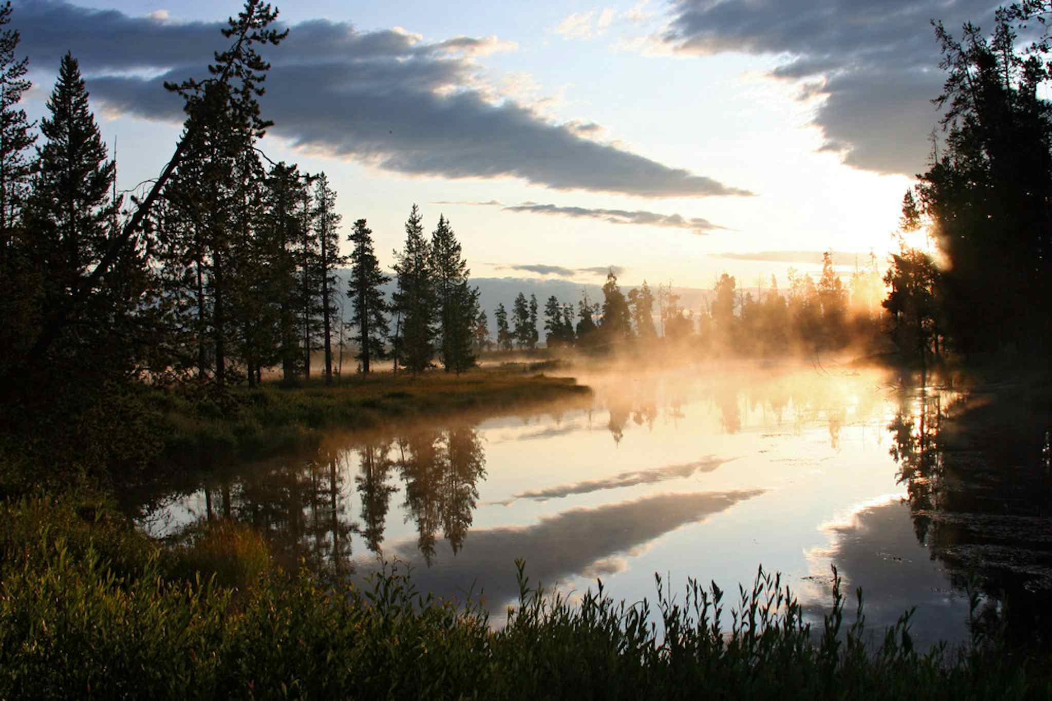
Waterfalls and Wildlife
MESA FALLS SCENIC BYWAY
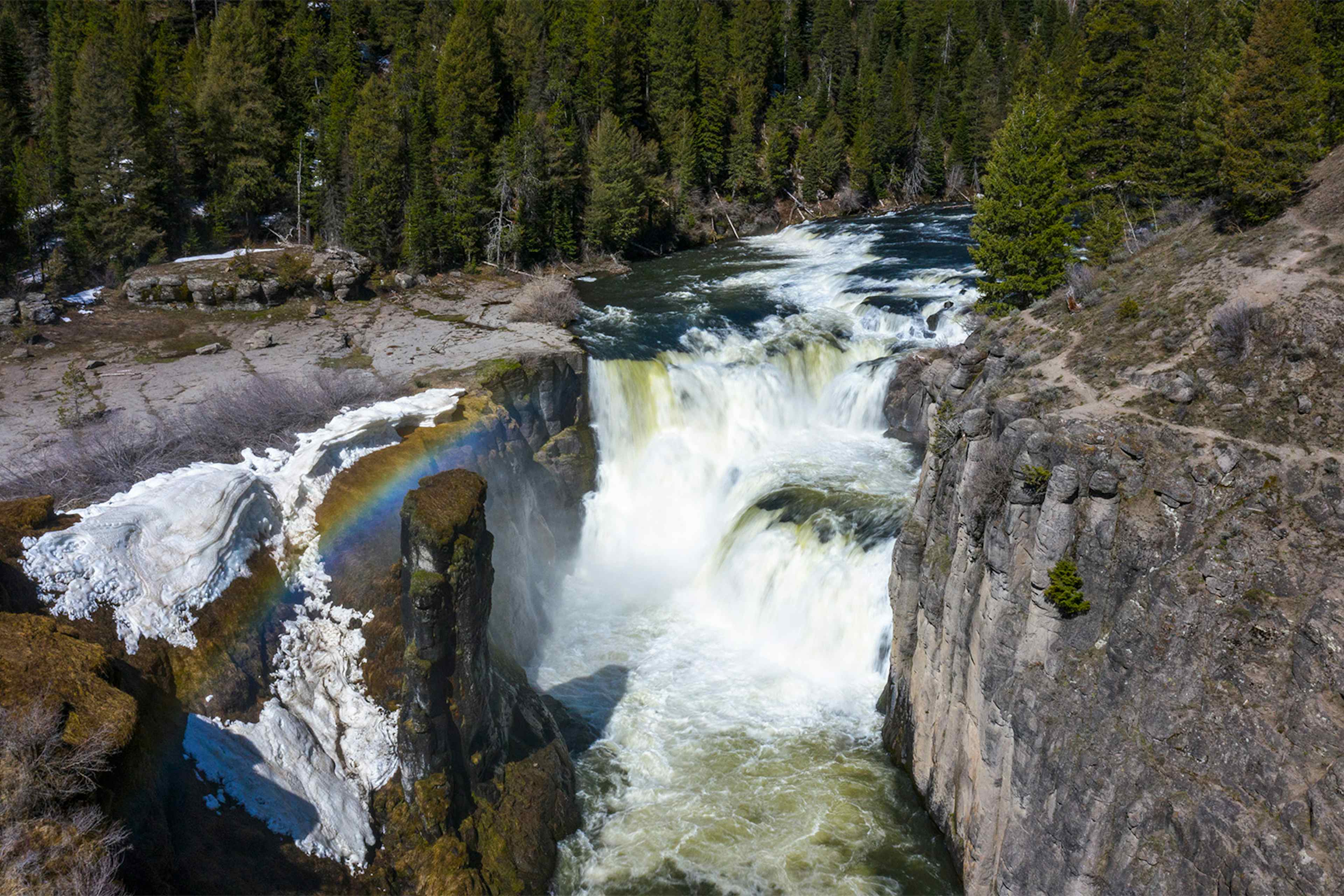
MESA FALLS SCENIC BYWAY
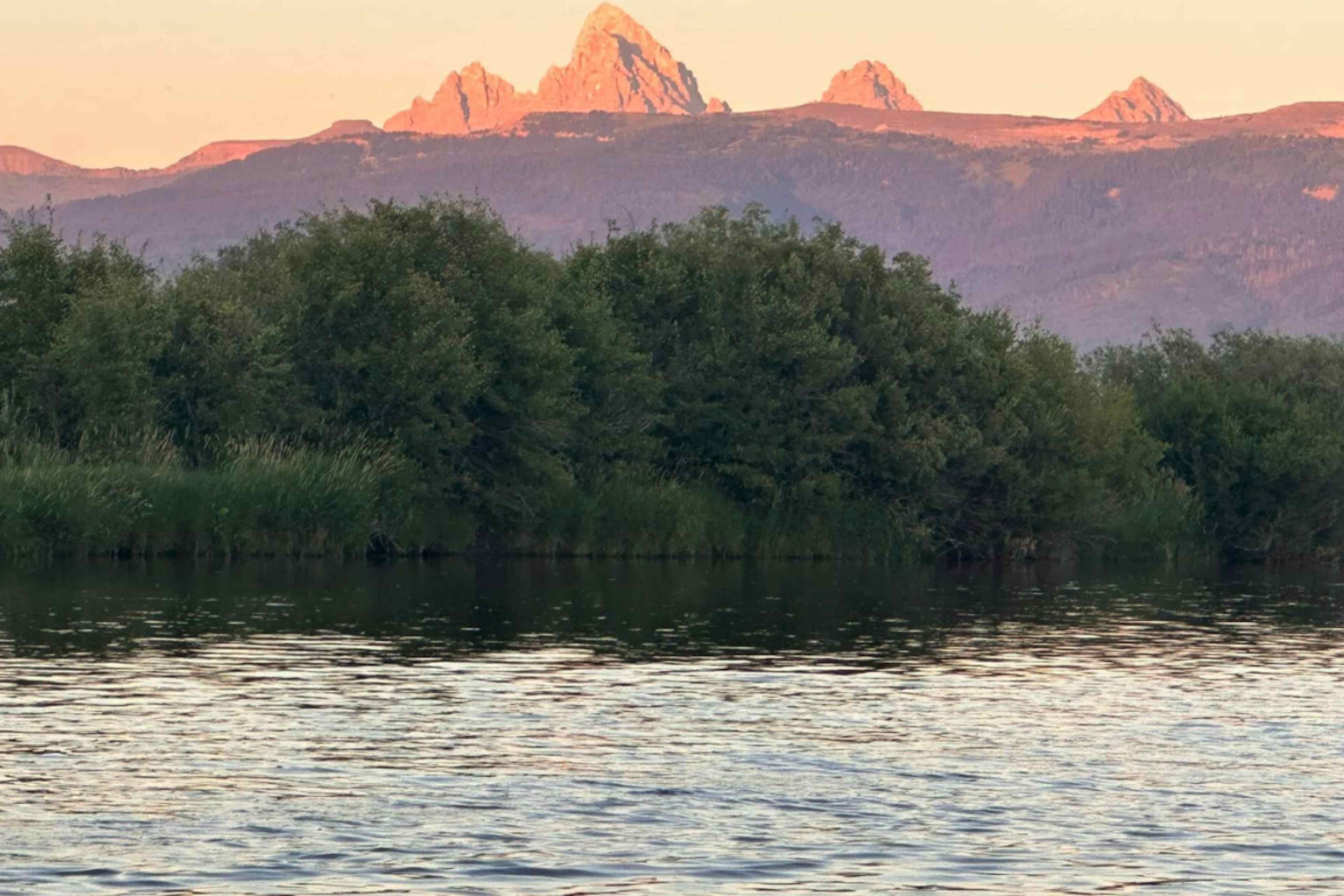
Enter the Caribou-Targhee National Forest as you travel the Mesa Falls Scenic Byway to see both the Upper and Lower Mesa Falls , which are as tall as a 10-story building!
Length and Roadway: 28.7 miles, two-lane road
Driving Time: Allow an hour of travel time
Directions: From Ashton , ID, head Northeast on ID-47, then Northwest along Forest Service Route 294 to US-20
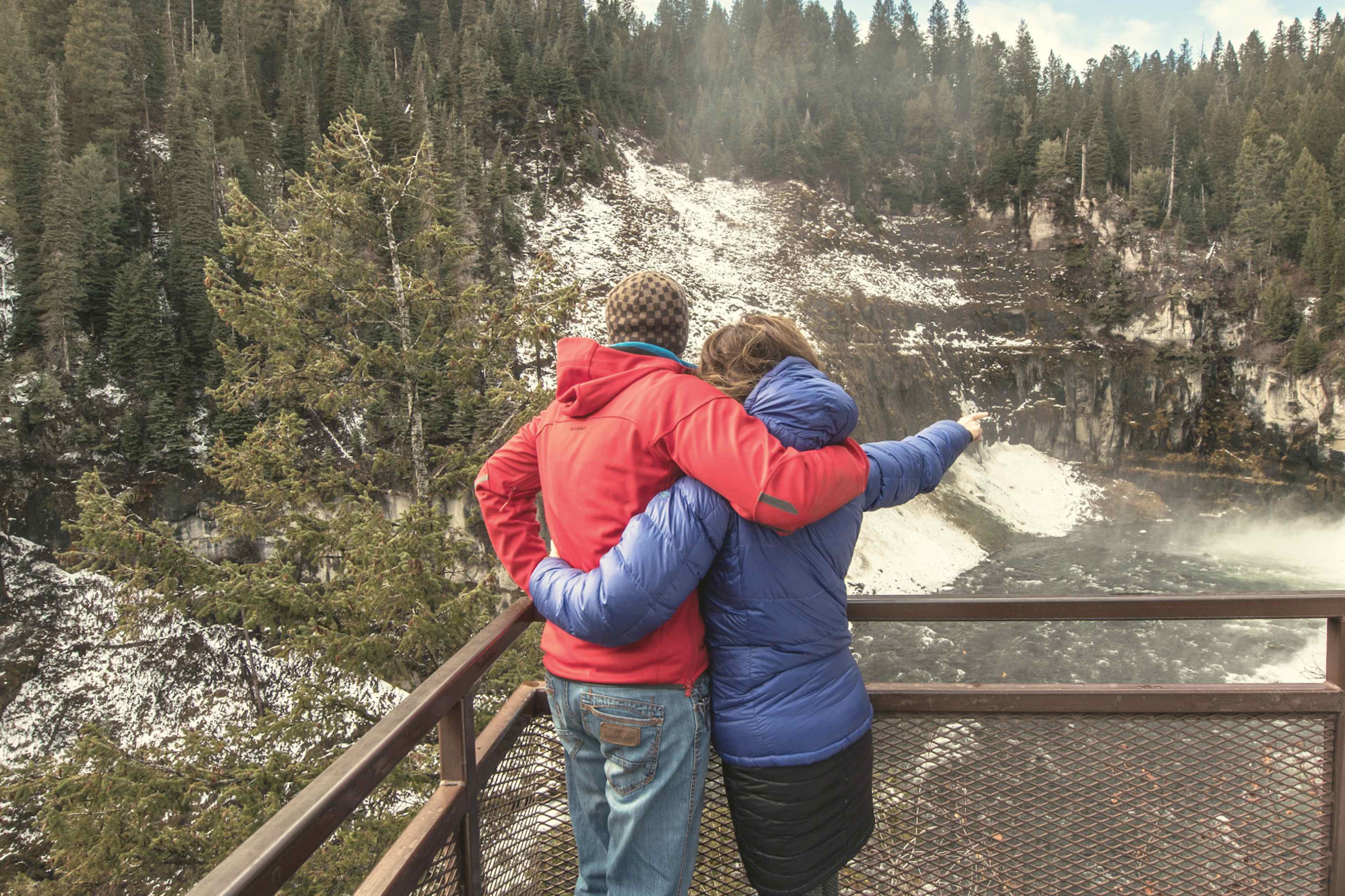
What to expect: Gorgeous views of two of Idaho's last undisturbed waterfalls, the Upper and Lower Mesa Falls, pour over remnants of an ancient volcanic super-eruption. There is a nice Visitor's Center with trails for avid hikers and walkways for those looking for a casual yet scenic stroll.
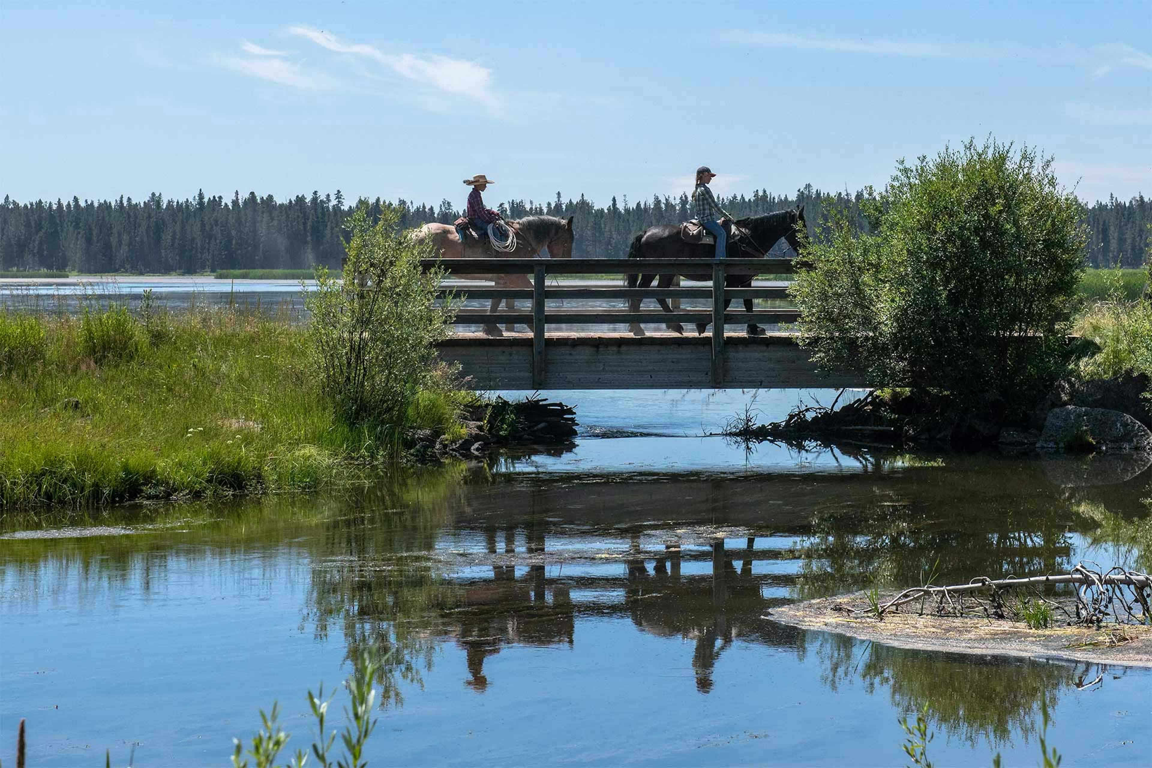
Historic significance: No trip along the Mesa Falls Scenic Byway is complete without venturing into Harriman State Park . With over 22 miles of hiking, mountain biking, and horseback trails, the park is rich in wildlife. Make plans to see the Johnny Sack's Cabin , an historic building in the Park built in 1935 by a master woodworker. The cabin's accents are breathtaking, and the original furniture remains functional and comfortable.
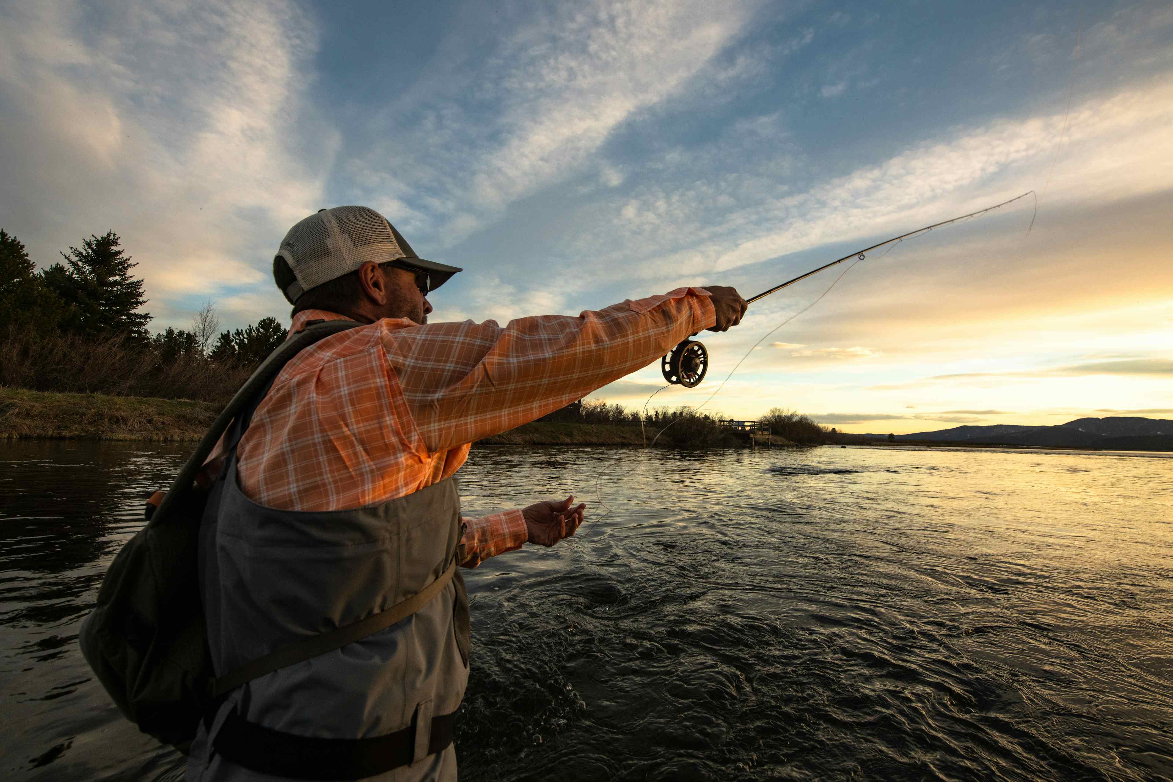
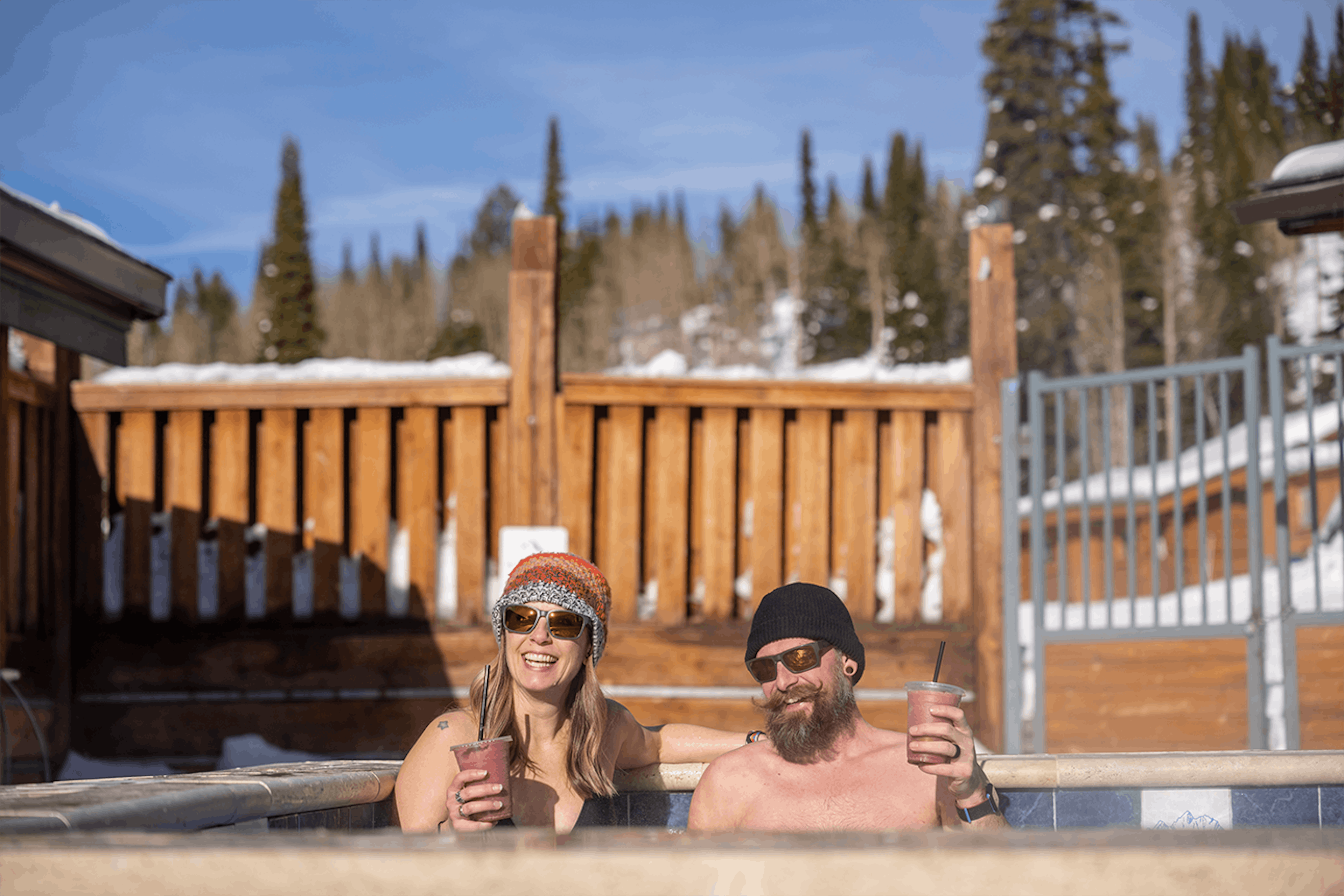
A stop along the Route: Island Park, ID ! Featuring the longest Main Street in the world, Island Park is possibly the skinniest town as well. Stretching 33 miles, it is only 500 feet wide in some places. However, the length of this town packs a punch. As you drive Main Street, keep an eye out for trout leaping from the Henry's Fork of the Snake River that hugs the road in places, watch Trumpeter swans spread their wings, and be on the lookout for bear, moose, or elk roadside. In addition, stop by the Drift Lodge & Fly Shop for insider tips on fishing and get some great gear, dine at Cafe Sabor for some amazing Mexican cuisine, and stay a night at the Sawtelle Mountain Resort .
Eastern Idaho's Famous Mountains
Teton Scenic Byway
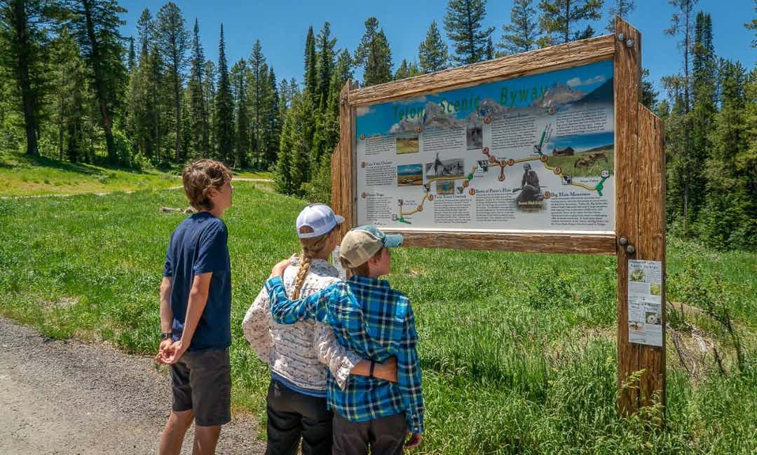

TETON SCENIC BYWAY
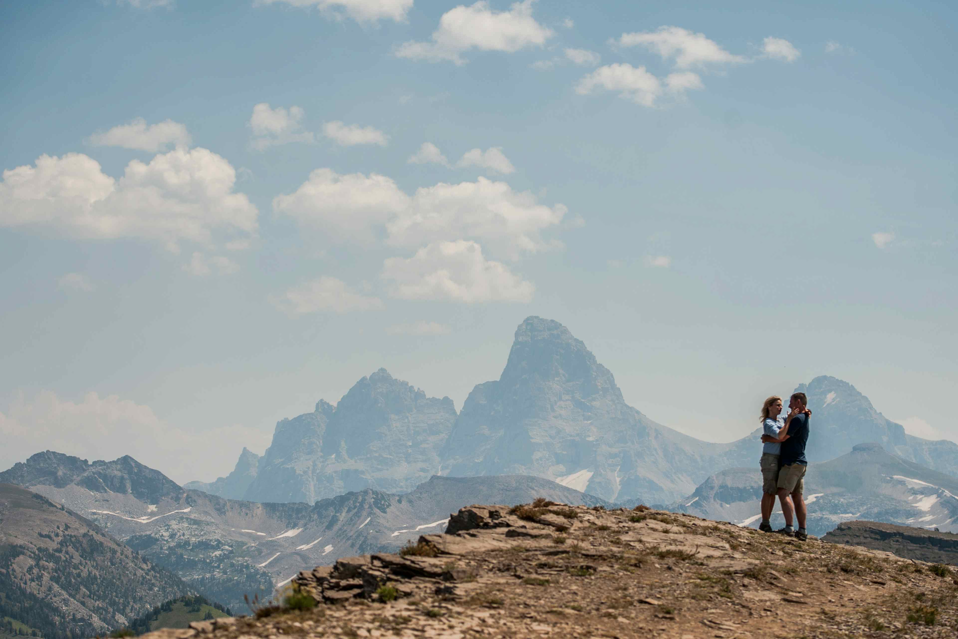
The Teton Mountain Range and the iconic Grand Teton are on full display as you drive this scenic byway.
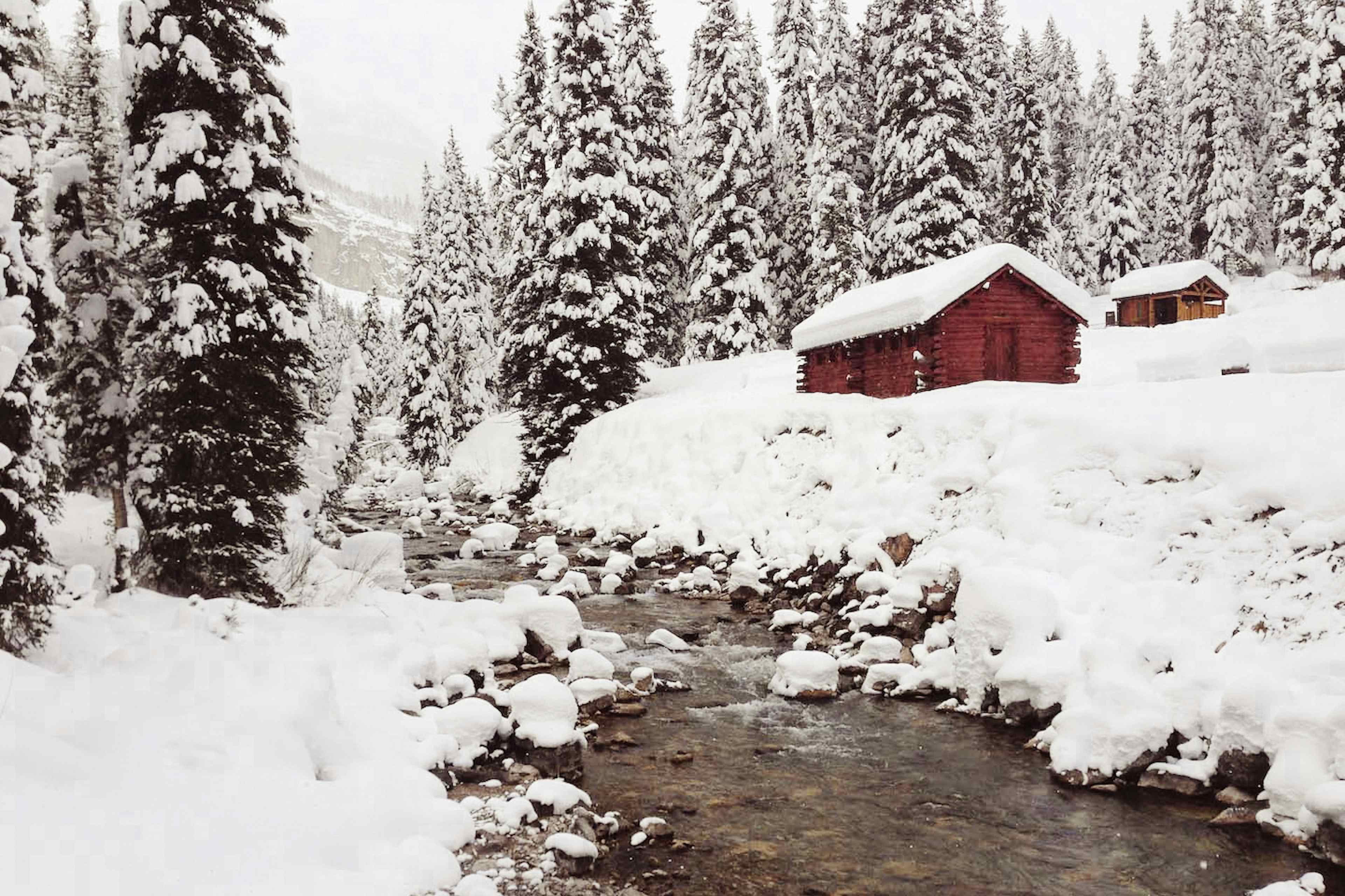
Length and Roadway: 69 miles, two-lane road. Icy conditions in winter. Pine Creek Pass is the highest point with 6% grade.
Driving Time: Allow 2.5 hours of travel time
Directions: From Swan Valley , follow ID-31 Northeast to Victor , turn North on ID-33, then North on ID-32, then head West of ID-47 to US-20 in Ashton to connect with Mesa Fall Scenic Byway .
What to expect: Travel over Pine Creek Pass, which runs through the Big Hole Mountain Range . Pine Creek hugs the two-lane highway and is a frequent crossing site for wildlife. Please watch your speed. Once into Victor, the highway runs parallel to the Teton Mountains. Stop in Victor, Driggs, and Tetonia to soak up small-town culture, grab some ice cream at the Victor Emporium , shop at The Local Galleria , or have a meal at Teton Thai .
Historic significance: Discover the history of Teton Valley at the Teton Geo Center , operated by Teton Regional Economic Coalition . Time travel back 11,000 years ago and see artifacts from Paleo Native Americans, a migratory tribe of hunters and gatherers that inhabited the area. Also, enjoy interactive displays that are fun for the whole family and show how trappers and hunters settled this area, once known as "Pierre's Hole ."
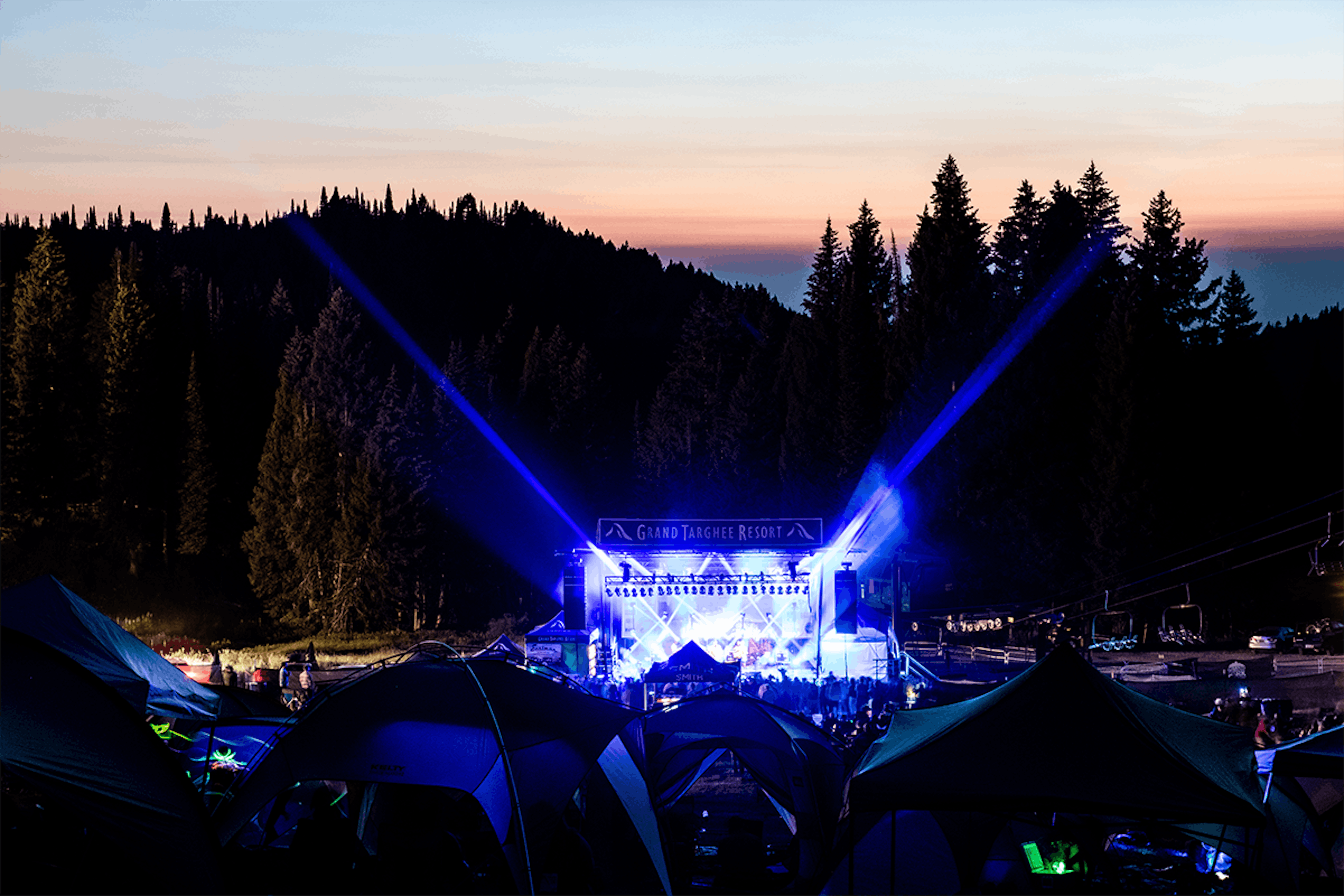
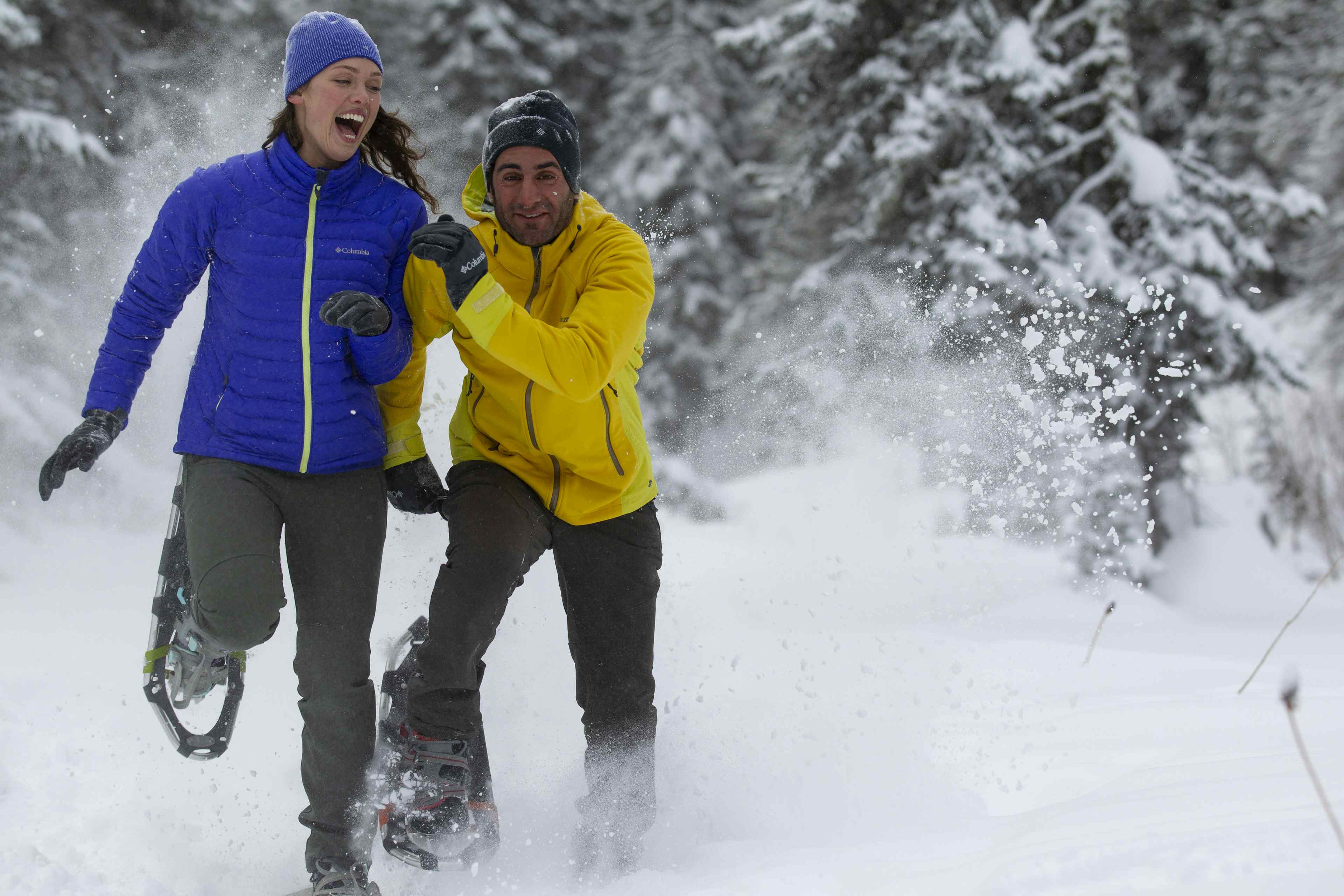
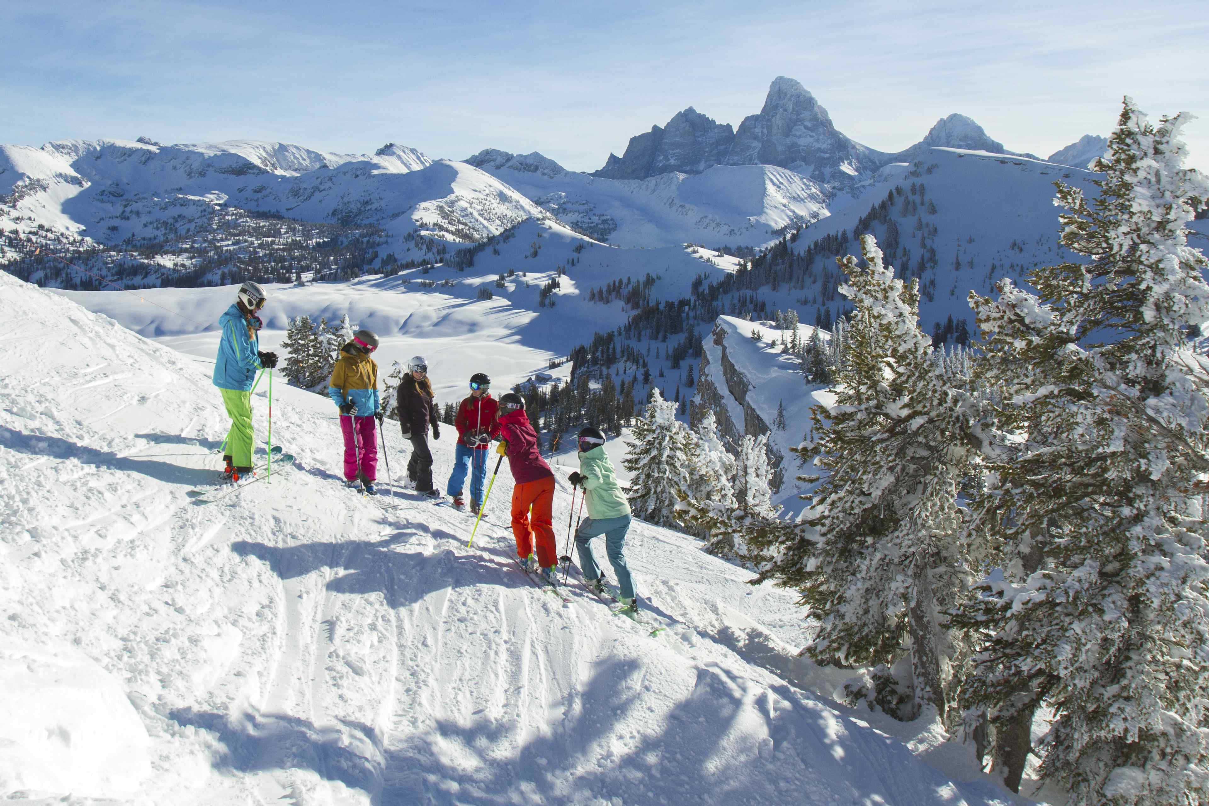
A stop along the Route: Grand Targhee Resort is Teton Valley's premier ski resort. Known for its incredible snowfall and number of powder days, Grand Targhee is well worth the visit. If you aren't a skier, then head to the mountain for a meal, a cocktail, and some live music at The Trap as you watch skiers fly down the slopes. In the Summer time, the Resort is alive with mountain bikers taking advantage of grassy slopes, children's fun zone activities , amazing hiking trails, and events such as Grand Targhee Bluegrass Festival !
Idaho's scenic drives connect
so many wonderful things across the State
"We travel not to escape life, but for life not to escape us." - Anonymous